![]()
![]()
![]()
![]()
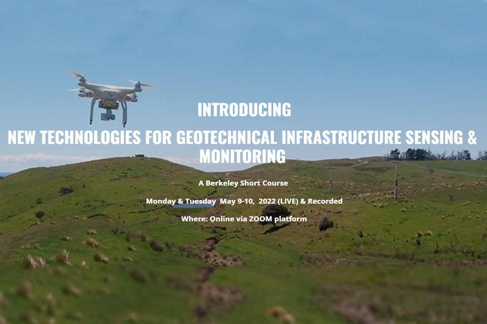
Last notification that on May 9-10 2022, UC Berkeley Faculty and colleagues will be offering again the 2-day short course on «New Technologies for Geotechnical Infrastructure Sensing and Monitoring«. The course was offered twice last year and was very well received with a total of 240 participants from 20 US States and 38 countries. You can review the participants’ feedback about the course here.
The May course will further improve on the previous versions of the course and provide a review of some of the latest technologies that are about to, or are already impacting the way we design, maintain, or operate geo-infrastructure and the way we manage risk. Technologies to be discussed are sensor-equipped Unmanned Aerial Vehicles (or drones), 3D model creation using optical (Structure-from-Motion) and LiDAR, infrared sensing, Synthetic Aperture Radar (SAR), wireless sensing network fundamentals, ShapeArray Accelerometers and distributed sensing using fiber optics. The instructors (Soga, Kayen, Johnson and Zekkos) have significant expertise in the technologies presented and will outline the principles of operation and the advantages and disadvantages, as well as share examples of projects where these technologies have been successfully implemented.
We are accommodating participants in all time zones by making the recorded lectures available online for one month following the completion of the course, as well as arranging «office hours». We are also offering PDHs for those that use them.
More information, and registration for this course can be found here: https://www.geoengfdn.org/
Please note that we will offer this course only once this year.
If you have any questions, feel free to contact me. We would appreciate it if you could pass this e-mail to anyone who may be interested.